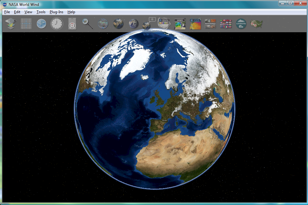
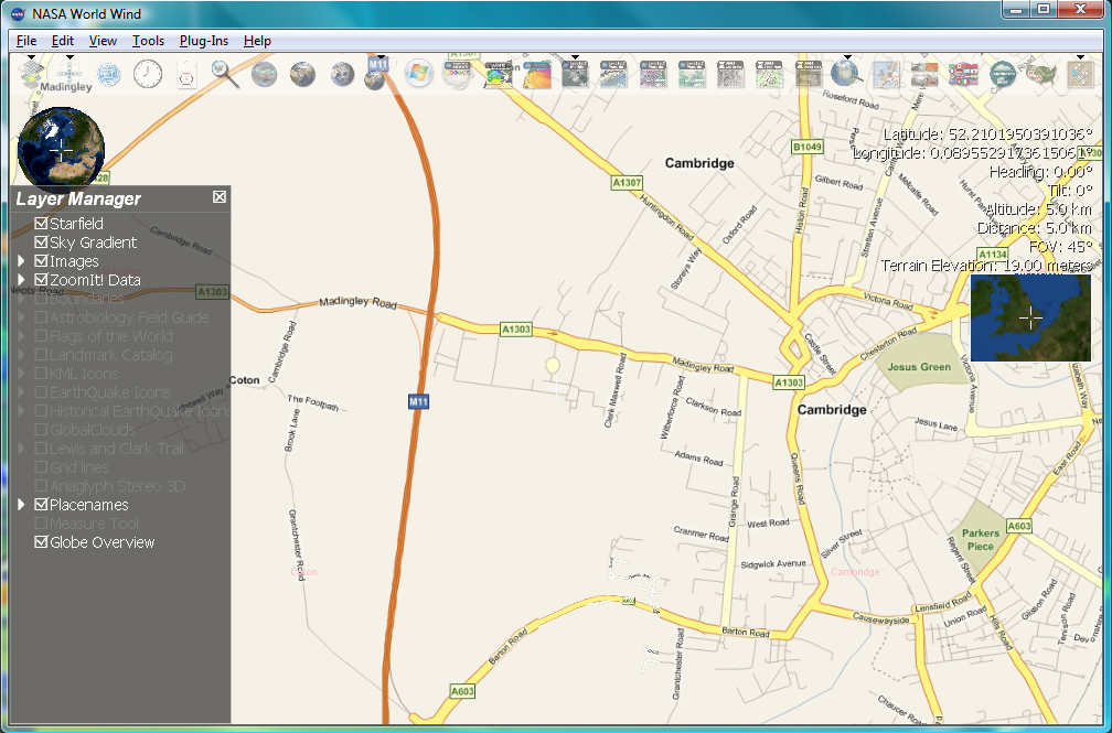
Currently I have started a new project and I am looking into some geo-related projects. NASA World Wind 1.4 is now available. World wind makes massive usage of .NET and DirectX and runs quite smooth under windows Vista. The data is also provided by Microsoft Research TerraServer-USA, hosting aerial photography and topographic maps.

World Wind
Unfortunately, TerraServer provides only United States Geologically Survey (USGGS) data. Better images for local European location can be accessed using the Virtual Earth plug-in, available from here. A video of Virtual Earth in World wind can be found here. Unfortunately, the plug-in does not seem to work with the latest World Wind version.
[Update 24/02/2007]
With the updated plug-in for version 1.4 available also the Virtual Earth data can be displayed.

Bull_[UK]
Andreas